

Gqeberha Wall Map


Gqeberha Wall Map
Buying for a school, company or government department? Request a quote and order on invoice.
Wall Map · est. 1958
The Gqeberha Wall Map covers Gqeberha (Port Elizabeth) together with Kariega and Despatch at 1:20 000 — street level, on a two-metre square sheet running from the Algoa Bay shoreline inland.
Roads run from freeways and national roads through main through routes to other roads with bridges, with route markers, one-way street starts and ends, traffic lights, toll plazas, parking and entrance points. Freeway interchanges carry their exit numbers, with the destinations from the roadside signs reproduced alongside them. Railways with stations and sidings are drawn, along with suburb and municipal boundaries, and shading separates built-up, commercial and industrial areas and informal settlements from parks, sports grounds, forest reserves, marsh, pan and water.
The civic detail runs deep: police, fire, traffic and metro police stations, hospitals and clinics with 24-hour casualty units distinguished from those without, municipal clinics, helipads, airfields and the airport, law courts, government and municipal offices, schools, libraries, places of worship, museums, provincial heritage sites, historical monuments and shopping centres — plus nature and hiking trails, bird sanctuaries, natural reserves and twenty categories of sports facility. An index of names with grid references runs the full width of the sheet beneath the map.
Suitable for
Logistics, freight and delivery. Freeway interchanges are shown with their exit numbers and roadside destinations, alongside one-way street starts and ends, traffic lights, toll plazas and entrances — and the printed index means anything on the wall can be found without reaching for a screen.
Manufacturing and industrial work. Industrial and commercial areas are shaded separately across the metro — Neave, Lindsay Road and KwaFord among them — with the road and rail network that serves them drawn to street level, and Kariega and Despatch on the same sheet.
Emergency services and public safety. Police, fire, traffic department and metro police stations are marked, hospitals and clinics carrying a 24-hour casualty unit are shown separately from those without, and helipads are indicated.
Municipal and government work. Suburb and municipal boundaries are drawn across the metro, with municipal offices, government offices, law courts, schools, libraries and refuse sites individually located.
Not the right map if you need the wider region. This sheet is street level across Gqeberha, Kariega and Despatch. For provincial coverage, see the provincial wall maps.
Specification
- Scale
- 1:20 000
- Map Size
- 2000 × 2000 mm
- ISBN
- 9781776170494
Every sheet researched, compiled and updated in South Africa.
Buying this map
- Format
- Ready to Hang comes with a plastic batten fixed along the top and bottom, so a large sheet hangs flat and straight as soon as it is up. Laminated Sheet is the same laminated map without the battens.
- Delivery
- Delivery anywhere in South Africa is R250 for wall maps — one flat fee for the order, not per map, so a set of sheets costs the same to deliver as one. Orders are dispatched within 2 working days of payment; allow 3 to 5 working days for delivery.
Related
More maps of this place

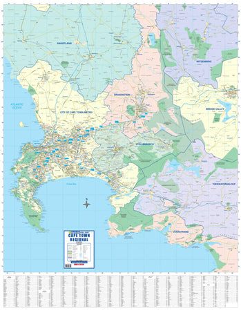
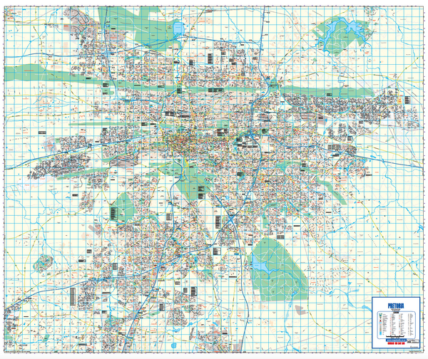
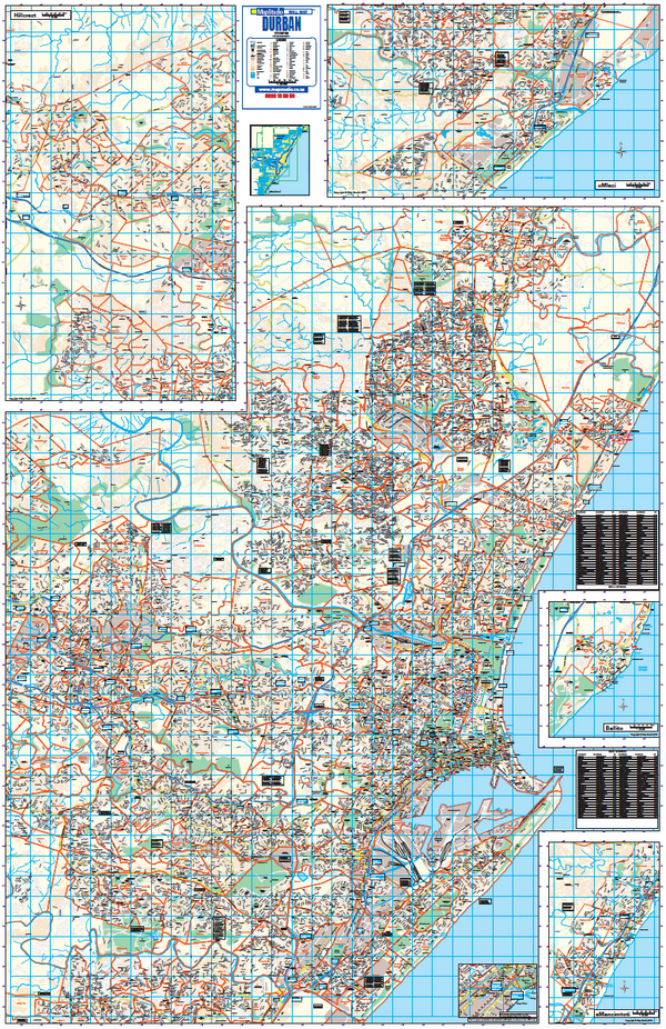
Schools, companies and government
Order on invoice, or ask for a quote.
If your organisation needs a formal quotation or pays on invoice, skip the card checkout. Tell us the quantity and finish and we will send a quote within one working day.
- A formal quotation you can put through procurement, with our VAT and banking details.
- One quote for the lot — a set of provincial sheets, or one map for every classroom.
- Payment by EFT or purchase order. Your order number goes on the invoice.
Quotes are handled by Louise Lumb in Cape Town — +27 79 462 1260 if you would rather talk it through.
Quote for Gqeberha Wall Map · from R 4,550.00