

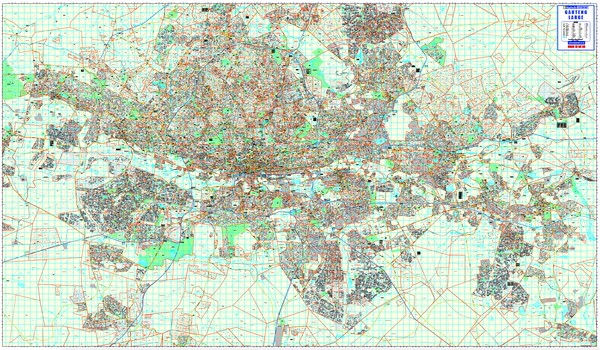
Joburg Regional Wall Map
No Batten
R 2,950.00
Sale price
R 2,950.00
Regular price
Skip to product information


Joburg Regional Wall Map
R 2,950.00
Sale price
R 2,950.00
Regular price
VAT inclusive.
Shipping calculated at checkout.
Buying for a school, company or government department? Request a quote and order on invoice.
Scroll to zoom · drag to move
Specification
- Scale
- 1:65 000
- Map Size
- 1070 × 1500 mm
Every sheet researched, compiled and updated in South Africa.
Buying this map
- Format
- No Batten is the laminated sheet on its own. With Batten adds a plastic baton top and bottom, which keeps a large sheet flat and hanging straight.
- Delivery
- Delivery anywhere in South Africa is R250 for wall maps — one flat fee for the order, not per map, so a set of sheets costs the same to deliver as one. Orders are dispatched within 2 working days of payment; allow 3 to 5 working days for delivery.
Not sure which map you need?
Compare the range by scale, sheet size and what each one covers.
Compare the range
Schools, companies and government
Order on invoice, or ask for a quote.
If your organisation needs a formal quotation or pays on invoice, skip the card checkout. Tell us the quantity and finish and we will send a quote within one working day.
- A formal quotation you can put through procurement, with our VAT and banking details.
- One quote for the lot — a set of provincial sheets, or one map for every classroom.
- Payment by EFT or purchase order. Your order number goes on the invoice.
Quotes are handled by Louise Lumb in Cape Town — +27 79 462 1260 if you would rather talk it through.
Quote for Joburg Regional Wall Map · from R 2,950.00