Skip to content

Flat-rate delivery across South Africa from R150

Flat-rate delivery across South Africa from R150
  • Explore
    • Self-drive & Overlanding
    • South Africa by Road
    • Kruger & Kgalagadi
    • The Garden Route & Route 62
    • The Flower Route & West Coast
    • Cape Town & the Peninsula
    • Self-drive maps
    • National Parks & Game Viewing
    • Scenic Routes & Road Trips
  • Maps
    • Adventure Road Maps
    • Road Maps & Atlases
    • Visitor's Guides
    • Wall Maps
    • Equal Earth Maps
    • Globes
    • Educational
    • All maps
  • Places
    • Countries
      • South Africa
      • Namibia
      • Botswana
      • Mozambique
      • Zimbabwe
      • Zambia
      • Malawi
      • Lesotho
      • Southern Africa
      • Africa
      • Rest of the World
      • World
    • Provinces
      • Western Cape
      • Eastern Cape
      • Northern Cape
      • Free State
      • Gauteng
      • KwaZulu-Natal
      • Limpopo
      • Mpumalanga
      • North West
    • Cities
      • Cape Town
      • Johannesburg
      • Pretoria
      • Durban
      • Bloemfontein
      • Gqeberha
      • Vaal Triangle
      • West Rand
    • Parks & Reserves
    • Named Routes
  • Professional
    • All professional & reference
    • Wall maps for business
    • Which wall map do I need?
    • City Wall Maps
    • Provincial Wall Maps
    • Regional Wall Maps
    • South Africa Wall Maps
    • Africa Wall Maps
    • World Wall Maps
MapStudio logo with a blue background and yellow square

Your cart is empty

Continue shopping
  • Explore
    • Self-drive & Overlanding
      South Africa by Road
      Kruger & Kgalagadi
      The Garden Route & Route 62
      The Flower Route & West Coast
      Cape Town & the Peninsula
      Self-drive maps
      National Parks & Game Viewing
      Scenic Routes & Road Trips
  • Maps
    • Adventure Road Maps
      Road Maps & Atlases
      Visitor's Guides
      Wall Maps
      Equal Earth Maps
      Globes
      Educational
      All maps
  • Places
    • Countries
      • South Africa
      • Namibia
      • Botswana
      • Mozambique
      • Zimbabwe
      • Zambia
      • Malawi
      • Lesotho
      • Southern Africa
      • Africa
      • Rest of the World
      • World
    • Provinces
      • Western Cape
      • Eastern Cape
      • Northern Cape
      • Free State
      • Gauteng
      • KwaZulu-Natal
      • Limpopo
      • Mpumalanga
      • North West
    • Cities
      • Cape Town
      • Johannesburg
      • Pretoria
      • Durban
      • Bloemfontein
      • Gqeberha
      • Vaal Triangle
      • West Rand
    • Parks & Reserves
      Named Routes
  • Professional
    • All professional & reference
      Wall maps for business
      Which wall map do I need?
      City Wall Maps
      Provincial Wall Maps
      Regional Wall Maps
      South Africa Wall Maps
      Africa Wall Maps
      World Wall Maps
  • More from Map Studio

    All Products
    Best SellersProfessional & ReferenceEducational ItemsGlobesGiftsAll Products

    140 items

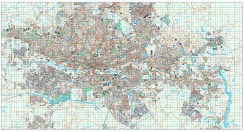
    Map Studio Joburg Large Wall Map, full sheet, showing street-level coverage of the central Gauteng conurbation at 1:25 000.

    Joburg Large Wall Map

    1:25 000 · 18th ed

    R 7,950.00
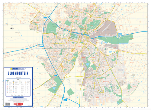
    Bloemfontein Wall Map full sheet, 1st edition, 1:25 000, landscape, with index grid and latitude and longitude labels around the margin

    Bloemfontein Wall Map

    1:25 000 · 1st ed

    R 2,600.00
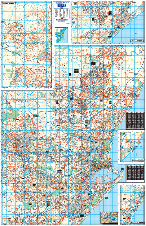
    Durban Wall Map full sheet, 11th edition, 1:25 000, showing the eThekwini metro with panels for Hillcrest, uMlazi, Ballito and eManzimtoti

    Durban Wall Map

    1:25 000 · 11th ed

    R 4,900.00
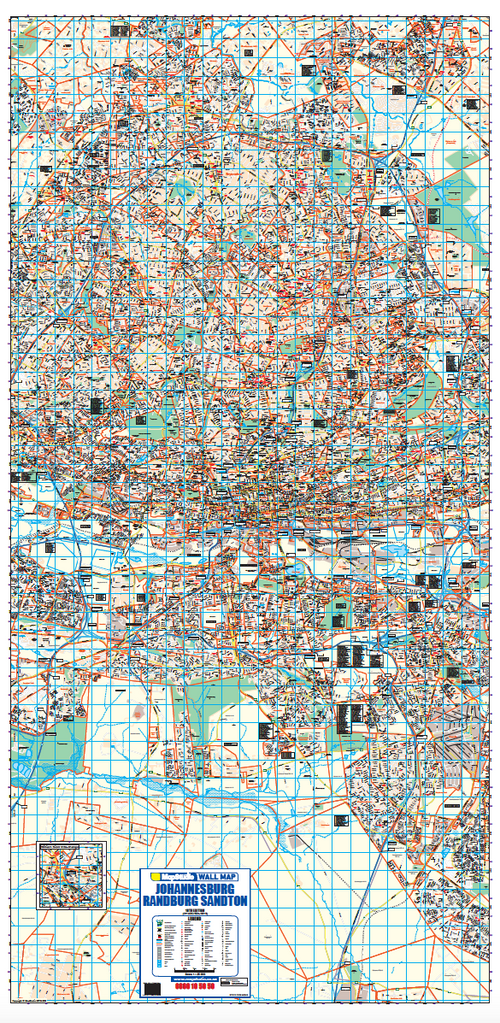
    Johannesburg, Randburg and Sandton Wall Map full sheet, 18th edition, 1:25 000, a tall portrait sheet covering the corridor at street level

    Johannesburg/Randburg/Sandton Wall Map

    1:25 000 · 18th ed

    R 4,500.00
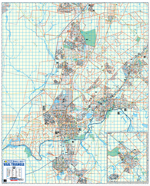
    Map Studio Vaal Triangle Wall Map, full sheet, showing street-level coverage of the Vaal Triangle conurbation either side of the Vaal River, with an inset panel.

    Vaal Triangle Wall Map

    1:25 000 · 3rd ed

    R 7,700.00
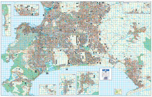
    Map Studio Cape Town Wall Map, full sheet, showing the Cape Peninsula and Cape Flats at street level with inset maps for Melkbosstrand, Parklands, Vierlanden & Fisantekraal, Franschhoek, Wellington and Paarl.

    Cape Town Wall Map

    1:20 000 · 19th ed

    R 7,950.00
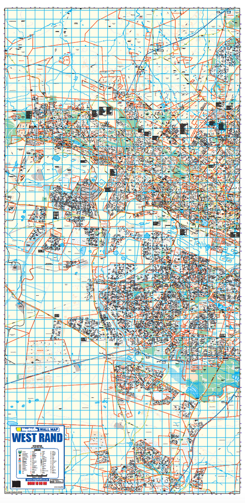
    West Rand Wall Map full sheet, 18th edition, 1:25 000, a tall portrait sheet covering the West Rand with suburb and farm boundaries

    Gauteng West Rand Wall Map

    1:25 000 · 18th ed

    R 4,900.00
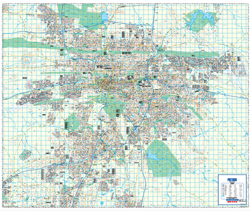
    Pretoria Wall Map full sheet, 15th edition, 1:25 000, showing the whole city with suburb boundaries and the road network

    Pretoria Wall Map

    1:25 000 · 15th ed

    R 5,700.00
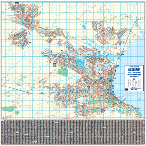
    Gqeberha (Port Elizabeth) Wall Map full sheet at 1:20 000, covering Gqeberha, Kariega and Despatch with a printed name index beneath the map

    Gqeberha Wall Map

    1:20 000

    R 5,500.00

    Custom Wall Map (Internal – Sales Agent Use Only)

    R 1,000.00
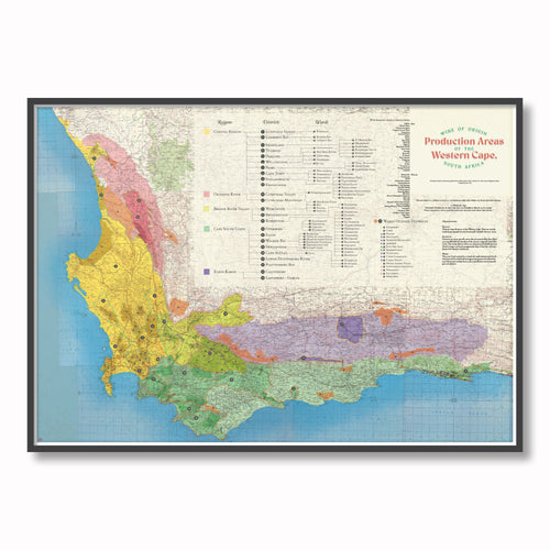
    Wine of Origin – Ben Grib poster, framed on a wall

    Wine of Origin – Travel Poster

    R 599.00
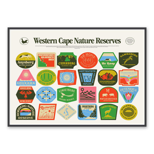
    Western Cape Nature Reserves – travel poster, framed on a wall

    Western Cape Nature Reserves – Travel Poster

    R 599.00
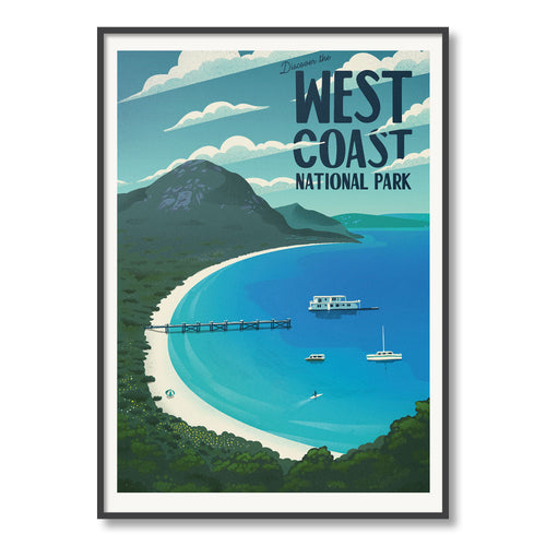
    West Coast National Park – Ben Grib poster, framed on a wall

    West Coast National Park – Travel Poster

    R 599.00
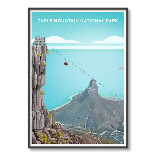
    Table Mountain National Park – Ben Grib poster, framed on a wall

    Table Mountain National Park – Travel Poster

    R 599.00
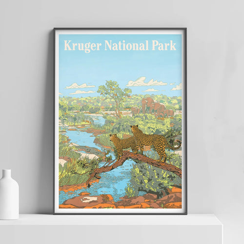
    Kruger National Park – Ben Grib poster, framed on a wall

    Kruger National Park – Travel Poster

    R 599.00
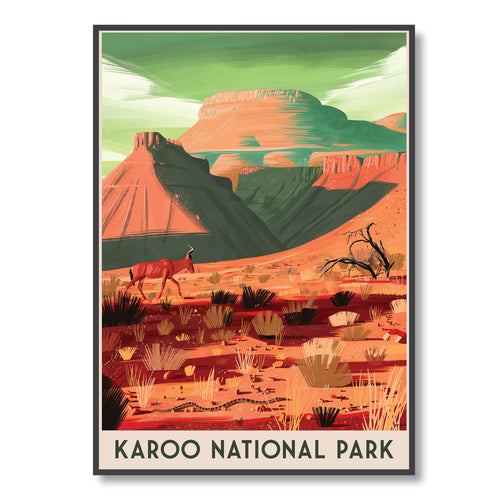
    Karoo National Park – Ben Grib poster, framed on a wall

    Karoo National Park – Travel Poster

    R 599.00
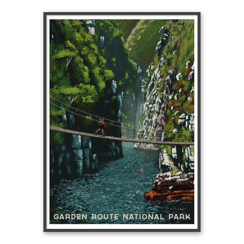
    Garden Route National Park – travel poster, framed on a wall

    Garden Route National Park – Travel Poster

    R 599.00
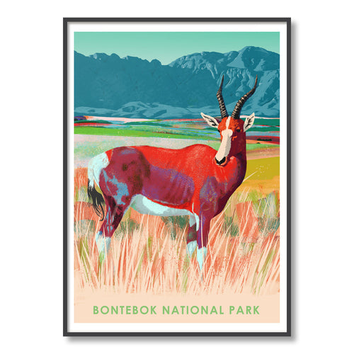
    Bontebok National Park – Ben Grib poster, framed on a wall

    Bontebok National Park – Travel Poster

    R 599.00
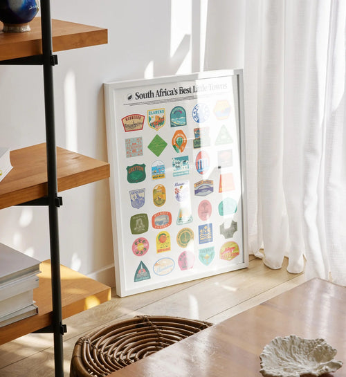
    South Africa's Best Little Towns – Ben Grib poster, framed on a wall

    South Africa's Best Little Towns – Travel Poster

    R 599.00
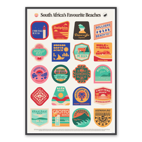
    South Africa's Favourite Beaches – travel poster, framed on a wall

    South Africa's Favourite Beaches – Travel Poster

    R 599.00

    Previous1…456
    Map Studio

    Africa's leading map publisher and distributor since 1958.

    Facebook
    Instagram
    Linkedin
    Contact Us
    Find your way Find your way
    • Places
    • Trips
    • Wall maps for business
    • About Map Studio
    Services Services
    • Custom Mapping
    • Digital SA Topographic Maps
    • International orders

    Payments are securely processed with Payfast.

    Payment methods
      © 2026 Map Studio
      • Privacy policy
      • Refund policy
      • Shipping policy
      • Contact information
      • Terms of service

      Search

      Products

      • Cape Town Regional Wall Map
        Map of Cape Town with various regions labelled. Detail from the Cape Town Regional Wall Map showing the Cape Peninsula from Table Bay to Noordhoek, with Table Mountain, the Constantia wine estates, the Cape Flats suburbs and the M-numbered route network.

        Cape Town Regional Wall Map

        R 5,400.00 ZAR
        Regular price  Sale price  R 5,400.00 ZAR
      • Cape Town Wall Map
        Map Studio Cape Town Wall Map, full sheet, showing the Cape Peninsula and Cape Flats at street level with inset maps for Melkbosstrand, Parklands, Vierlanden & Fisantekraal, Franschhoek, Wellington and Paarl. Detail from the Cape Town Wall Map at 1:20 000, showing individual street names, suburb boundaries, route markers and civic landmarks.

        Cape Town Wall Map

        R 7,950.00 ZAR
        Regular price  Sale price  R 7,950.00 ZAR
      • Central Kalahari, Makgadikgadi Pans, Okavango Panhandle Tourist Map – 1st Edition (English)
        Central Kalahari, Makgadikgadi Pans, Okavango Panhandle Tourist Map – 1st Edition (English) – image 1 Central Kalahari, Makgadikgadi Pans, Okavango Panhandle Tourist Map – 1st Edition (English) – image 2

        Central Kalahari, Makgadikgadi Pans, Okavango Panhandle Tourist Map – 1st Edition (English)

        R 190.00 ZAR
        Regular price  Sale price  R 190.00 ZAR
      • Chobe National Park Tourist Map – 2nd Edition (English)
        Chobe National Park Tourist Map – 2nd Edition (English) – image 1 Chobe National Park Tourist Map – 2nd Edition (English) – image 2

        Chobe National Park Tourist Map – 2nd Edition (English)

        R 190.00 ZAR
        Regular price  Sale price  R 190.00 ZAR