

Africa Businessman's Mining & Minerals Wall Map


Africa Businessman's Mining & Minerals Wall Map
Buying for a school, company or government department? Request a quote and order on invoice.
Wall Map · 2nd edition · est. 1958
The Africa Businessman's Mining and Minerals Wall Map maps the continent's extractive industry at 1:5 000 000 — named mines and mining companies, plotted deposits for more than forty commodities, and the coal, gas and oil fields drawn as areas.
Each deposit is marked with a lettered symbol for its commodity, and the legend keys more than forty of them: gold, platinum, chrome, copper, coal, iron, manganese, nickel, cobalt, uranium, alluvial and kimberlite diamonds, bauxite, tantalum, vanadium, fluorspar, graphite, gemstones, phosphate, tin, tungsten and the rest. Individual mines and the companies operating them are named on the map itself. Coal fields, gas fields and oil fields are shaded as areas, and river deltas are shown separately. Mine and mineral information north of South Africa is supplied by the United States Geological Survey.
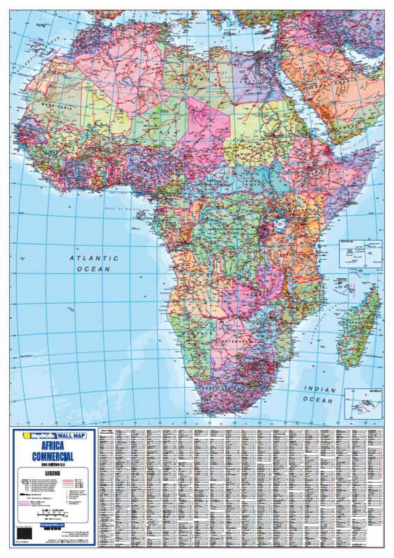
The transport network is mapped for getting product out. Roads are graded from freeways and national roads down to secondary roads with tarred, untarred and under-construction sections distinguished and route numbers in each country's own system; distances in kilometres are printed between towns and separately along the national roads. Railways, ferries, border control posts, major airports, airfields and major ports are marked, and shipping routes are drawn with their distances in nautical miles. Metropolitan areas are ringed and graded by population from two million up to eleven million, with towns graded below them, and national parks and game reserves are shown.
Suitable for
Mining, exploration and resource finance. Deposits are keyed by commodity, individual mines and operating companies are named, and the coal, gas and oil fields are drawn as areas — where the continent's production actually sits, on one sheet.
Bulk logistics and export. Ports, railways and shipping routes with nautical-mile distances sit alongside road distances in kilometres and border control posts — the full chain from pit to port.
Investment, trade and country analysis. Metropolitan areas are graded by population band, boundaries are drawn, and the resource base is shown country by country.
Boardrooms and operations rooms. At 1.59 by 1.75 metres, with commodity symbols large enough to read standing up.
Not the right map if you only need South Africa. For South African deposits in closer detail, see the South Africa Mining & Minerals Wall Map.
Specification
- Scale
- 1:5 000 000
- Edition
- 2nd
- Map Size
- 1590 × 1750 mm
- ISBN
- 9781770266131
Every sheet researched, compiled and updated in South Africa.
Buying this map
- Format
- Ready to Hang comes with a plastic batten fixed along the top and bottom, so a large sheet hangs flat and straight as soon as it is up. Laminated Sheet is the same laminated map without the battens.
- Delivery
- Delivery anywhere in South Africa is R250 for wall maps — one flat fee for the order, not per map, so a set of sheets costs the same to deliver as one. Orders are dispatched within 2 working days of payment; allow 3 to 5 working days for delivery.

Schools, companies and government
Order on invoice, or ask for a quote.
If your organisation needs a formal quotation or pays on invoice, skip the card checkout. Tell us the quantity and finish and we will send a quote within one working day.
- A formal quotation you can put through procurement, with our VAT and banking details.
- One quote for the lot — a set of provincial sheets, or one map for every classroom.
- Payment by EFT or purchase order. Your order number goes on the invoice.
Quotes are handled by Louise Lumb in Cape Town — +27 79 462 1260 if you would rather talk it through.
Quote for Africa Businessman's Mining & Minerals Wall Map · from R 5,750.00